
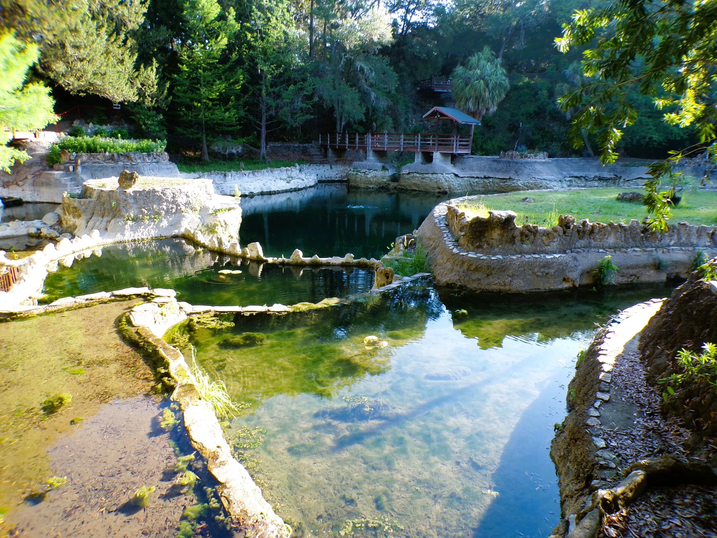
Floridan Aquifer
The Floridan aquifer system covers more than 100,000 square miles and supplies drinking water to millions of residents across Northern and Central Florida. Watch as Sammy Smith, Environmental Flows and Levels Supervisor at the Southwest Florida Water Management District, explains the mechanics of this highly productive aquifer and its vital role in supporting Florida’s springs, lakes, and rivers.
Inside Florida’s Hidden Water Source
Frequenty Asked Questions
-
An aquifer is an underground layer of sand, gravel, or fractured rock that holds water. It acts as a natural reservoir, storing water in its pores and letting it flow through the ground.
-
The Floridan aquifer system consists primarily of limestone and dolomite layers. These rocks are full of cracks, crevices, and pores that store and move massive amounts of water.
-
Because some rock layers have low permeability (meaning water can't pass through easily), the system is divided into two distinct zones: the Upper and Lower Floridan aquifers.
The Upper Floridan Aquifer: This is the primary water source for Northern and Central Florida, supplying homes, farms, and businesses. It also feeds Florida’s famous springs, lakes, and rivers.
The Lower Floridan Aquifer: This deeper zone often contains brackish (salty) water. While it can be used for water supply, it requires more treatment and resources to make it usable.
-
Rainwater soaking into the ground is the aquifer's primary source of replenishment. Depending on the location, between 2% and 38% of rainfall reaches the aquifer. Recharge rates are highest in the northern parts of the district, where the aquifer sits close to the surface without restrictive rock layers blocking the water.